Weather Radar vs. Satellite Cloud Maps: Which One Shows Incoming Rain Better?
Two maps, two different truths. Open a weather app on a grey afternoon and you'll usually be offered both: a radar layer splashed in green and yellow, and a satellite view of white cloud swirls sliding across the region. They rarely agree. That disagreement is the most useful thing about them.
The real question isn't which one is better. It's which one answers the question you're actually asking. Are you deciding whether to cycle to the shop in the next twenty minutes, or whether Saturday's barbecue is worth planning? Different timelines call for different layers.
What precipitation radar actually measures
Ground-based weather radar works like a very loud echo. A dish sends out a pulse of energy, then listens for whatever bounces back off what's in the air. Raindrops, snowflakes and hailstones reflect some of that energy, and the strength of the return — reflectivity — is what gets painted on your screen in those familiar colours.
The crucial point: radar shows precipitation, not cloud. A thick, threatening deck of cloud with nothing falling out of it is invisible to radar. Conversely, a shower can appear as a bright blob while the cloud that produced it barely registers, because the cloud itself is made of droplets too small to return a meaningful signal.
Reflectivity is also a proxy, not a measurement of what reaches the ground. The beam travels roughly in a straight line while the earth curves away beneath it, so at a hundred kilometres out it can be a kilometre or more above the surface. What it detects up there isn't always what lands on your street. Snow and hail muddy the picture further: hail gives an enormous return and can make a modest storm look catastrophic, while light snow may barely register at all.
What satellite cloud maps show — and what they hide
Satellite imagery answers a different question entirely: where is the cloud, how high is it, and how is it changing? Most cloud pictures on a phone come from geostationary satellites that stare at the same part of the planet continuously, refreshed typically every five to fifteen minutes.
The infrared channel is the workhorse at night and in winter. It reads temperature, and in the troposphere colder usually means higher. A cloud top that has pushed up to twelve kilometres and chilled to minus fifty is a strong hint of deep convection — the kind of towering cloud that produces thunder, heavy showers and hail. Visible imagery, which only works in daylight, adds texture and structure: crisp edges, overshooting tops, the fine lines where air converges before storms develop.
What satellite cannot tell you is whether anything is falling out of that cloud. A vast, cold cirrus shield can spread over a region for hours with not a drop beneath it. That is the classic satellite false alarm: an app glowing white, a sky that looks ominous, and a completely dry afternoon.
Where each layer earns its place
Think of radar as a microscope on the next ninety minutes and satellite as a wide-angle lens on the next twelve hours.
- Deciding whether to leave the house now: radar. It shows where rain is, how intense it is, and where it's heading frame by frame.
- Spotting storm development before it rains: satellite. Cooling cloud tops across successive frames are often the first visible sign that a shower is organising.
- Tracking systems over the sea or empty terrain: satellite. Radar coverage is land-based and patchy; over open water, satellite may be all you have.
- Telling "grey and gloomy" apart from "rain in twenty minutes": radar. Cloud tells you nothing about whether the air beneath it is saturated.
- Judging the character of a cloud mass: satellite. Is it a flat stratus sheet, or a bubbling field of cumulus ready to burst? Radar can't see the shape of the cloud.
- Snow and mixed precipitation: neither is reliable. Radar underestimates light snow, and satellite sees the cloud but not the flakes. Lean on surface reports.
The blind spots that catch people out
Radar has terrain problems. Hills and mountains block the beam, leaving permanent shadows where nothing is ever detected — and inside those shadows, an empty radar screen means nothing at all. Buildings, wind farms and tall structures create clutter. On calm, clear nights with a temperature inversion, the beam can bend downwards and paint spurious echoes that look like a spreading band of rain. Forecasters recognise these artefacts instantly; the rest of us get fooled.
Satellite has a timing problem. Each frame is a snapshot of a moment that has already passed, and there's a processing delay before it reaches your screen. A fast-moving squall line can travel several kilometres in the gap between the image and now. High cirrus also masks whatever is happening underneath: the highest cloud wins the picture, and the low-level cumulus that will actually rain on you can be hidden beneath a smooth white veil.
A checking order that works
Rather than picking a favourite, use them in sequence. It takes about forty seconds.
- Open radar first, zoomed in. Not the whole country — your town and roughly a hundred kilometres around it. That's where the detail matters.
- Loop it, don't stare at it. A single frame tells you where rain is; the animation tells you speed and direction, which is what you actually need.
- Note the gaps. If your area sits in a radar shadow or near the edge of coverage, treat an empty screen with suspicion.
- Switch to satellite infrared if the radar is quiet but the sky looks wrong, or if you want to know whether something is brewing upwind.
- Animate the satellite too. Cloud tops that cool and expand over two or three frames are the tell for a strengthening storm.
- Confirm with something on the ground. A look out of the window, a local station, a traffic camera. Instruments are guides; the sky is the evidence.
When the two layers conflict, use this rule: radar wins on now, satellite wins on next. If radar shows rain overhead, it is raining. If satellite shows a building tower upwind with no echo beneath it yet, expect one shortly.
The layer to check first, in one line
For anything inside the next hour or two, start with live precipitation radar. It answers the only question most of us have — is it going to rain on me, and when — with the least ambiguity. Reach for satellite cloud imagery when the radar is empty but the sky is not, when you're looking at the sea or a data-sparse region, or when you want to understand what a weather system is doing rather than just where it is.
One more habit worth building: check both, then look up. Radar and satellite are layers of evidence, not verdicts, and they are at their most useful when they disagree — because that's the moment you learn something the app wasn't going to tell you. For anything that carries real weight, whether that's travel, outdoor work or a day on the water, follow the warnings issued by your national meteorological service rather than a single app layer. A radar loop is an excellent planning tool; it isn't a safety system.
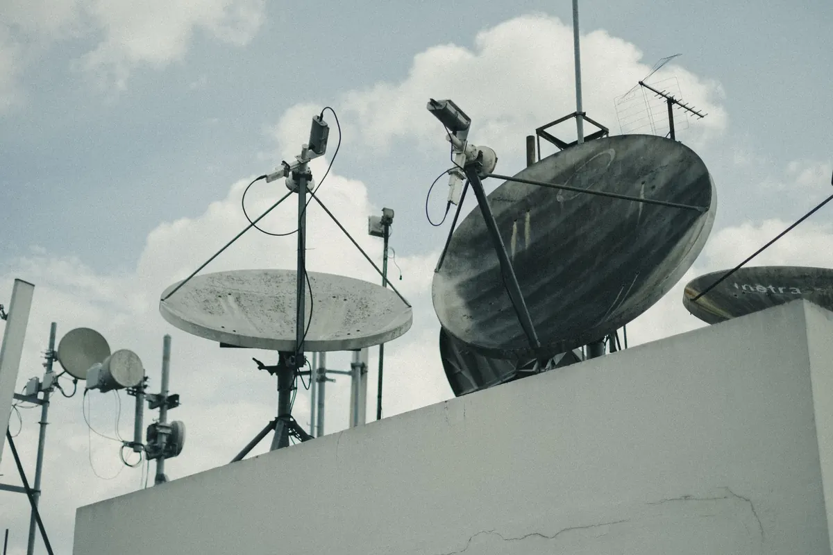
Photo: Lutfi Elyas / Pexels